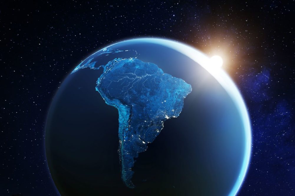
KANSAS CITY — Recent weather extremes in South America have wowed the world just as some of the impressive heat did last summer in southwestern Canada and the US Pacific Northwest. Both South America and North America can trace some of these weather extremes back to major solar cycles that coincide with La Niña and Pacific Decadal Oscillation among other known weather patterns that can create extreme conditions. The pattern will continue in North America during the spring and summer of 2022 and some of the extremes seen in South America recently should be interpreted as foreshadows of what may be coming to the central United States in a few months.
The pattern playing out since 2020 is the same 22-year solar cycle that brought on extreme North America droughts like that of the 1930s and 1950s as well as less extreme droughts of the early 2000s, the middle 1970s and from 1912-1914. The same extremes have been seen in South America, and the latest drought and extreme heat in Argentina, Paraguay and southwestern Brazil can be directly associated with La Niña and its simultaneous occurrence in this current 22-year solar cycle.
The frost and freezes that affected coffee and sugar cane areas in Brazil last July also may be attributed to this same pattern. History has shown how freezes in Brazil coffee areas are far more likely near the solar minimum than at other times. Just like the coffee freeze potential being highest near solar minimums the potential for serious drought in North and South America also tends to be associated with the solar minimum and especially when La Niña is playing out in a significant manner.
Most periods following the solar minimum usually have a multi-year La Niña event that removes moisture from the mid-latitudes and adds it to the tropics. The multi-year La Niña event usually leads to a dryness problem in both South America and North America and World Weather, Inc. believes these dryness issues are more severe in every other solar cycle. The mean period from one solar cycle minimum to another is 10 to 12 years and is referred to as the 11-year solar cycle. The 22-year solar cycle is just two of the 11-year cycles put together.
Sociologists also have studied the solar cycle and claim that extreme human behavior often is linked to this solar cycle. No offense to anyone, but human behavior seems to be at an extreme right now and has been since 2020. The solar cycle minimum was in 2020.
Weather in South America over the past few months was a little extreme with dryness first impacting southwestern Brazil and Paraguay during December. Parts of Argentina also were struggling with dryness in December as well as late November and early January. Early on in the dry pattern South America was experiencing a milder-than-usual temperature regime, but that all changed in early January when a high-pressure ridge evolved and further restricted rainfall while allowing temperatures to soar into the upper 90s to 110° F. Some extremes in Argentina reached 113° before the heatwave recently broke down, but the prolonged period of below-average precipitation set the stage for the excessive heat and was part of the reason for production cuts when the heat came on so strongly.
The US Plains and a part of the western Corn Belt also are experiencing an extended period of below-average precipitation. The bias may be associated with La Niña, but when looking at the pattern in North America one must take into account that drought already has been around in western North America since 2020 and the negative phase of Pacific Decadal Oscillation is firmly in place and all of this while in the midst of the 22-year solar cycle already known for its extremes and multi-year droughts in North America. Concern is rising that if the dry bias in the central United States is not put down in the next few months that a ridge of high pressure similar to that seen in Argentina could settle into the Plains and/or the western Corn Belt and induce a similar bout of excessive heat. The impact might also be negative on crop development, depending on when the hot and dry conditions evolve.
Normally, World Weather, Inc. would not be waving its arms over the potential for drought, but one does not have to travel very far back into the history books to see the same tendency for drought resulting when La Niña prevails too long. Outside of a little break from La Niña over the middle of last summer, La Niña has been around for 18 months and it is predicted to prevail. In fact, studies have shown that La Niña events that occur in this 22-year solar cyclone have never lasted less than 25 months and have occurred up to 36 months. Those are disturbing statistics since the longer La Niña lasts the more moisture gets removed from the middle latitudes of planet earth, raising the potential for drought.
Some scientists believe that climate change has added so much moisture to the air that prolonged La Niña events do not have the same drying impact that they did decades ago. They believe that droughts like that of the 1930s and 1950s will be harder to see because there is so much more moisture in the air to begin with due to warm oceans. There may be some truth to that statement, but the North America drought of 2012 (10 years ago) was a real extreme event and it occurred after a multi-year period of La Niña and with some negative Pacific Decadal Oscillation. The solar minimum that preceded the 2012 drought was in 2008 and it was not in the same 22-year solar cycle that is present today. The current solar cycle has had a history of supporting multi-year droughts of significant impact. The 2012 drought began in the Southern Plains in 2011 and it spilled over into 2013, but it was mostly a two-year event whereas these other droughts that occurred in the 22-year cycle usually last three and sometimes four years. Canada’s southwestern Prairies have been in a drought for five years.
The longer dryness prevails the more extreme temperatures become and both North and South America have seen some wild swings in temperature over the past year or two. Those wild swings in temperature have caused heaving soil in the US Plains breaking down the topsoil to a fine powder resulting in blowing dust whenever the wind blows hard. The wind will blow harder than usual at times this year because of drought and an associated huge temperature differential from one part of the continent to another. Had we not learned how to manage our farmland in recent years, the big windstorm in December would have caused a dust storm comparable to that of the 1930s, but thankfully we manage the land better now.
The bottom line is to watch closely over the next few months, as US weather could become as extreme as South America with flooding in the eastern Midwest and serious drought in the Plains and western Corn Belt, which would be similar to Brazil’s excessive rain of late and Argentina’s drought. It is not a done deal, but the stage is set with some ominous features that need to be closely monitored.